Maps
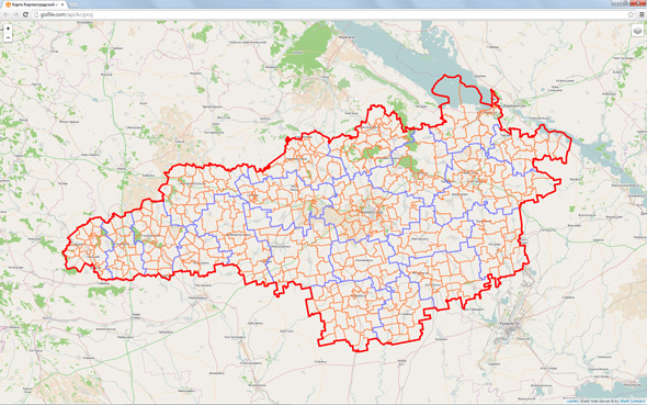
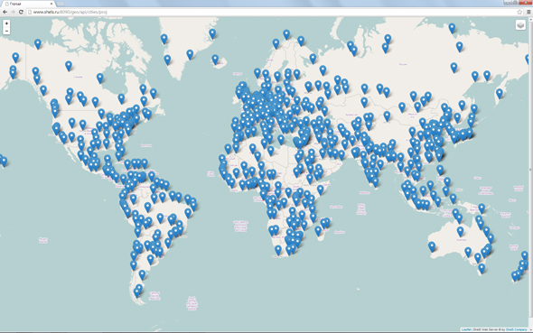
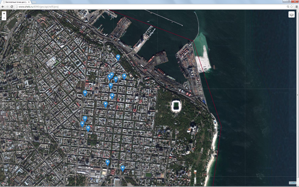
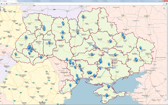
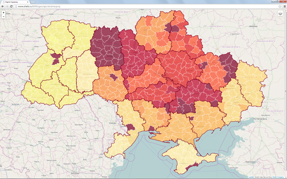
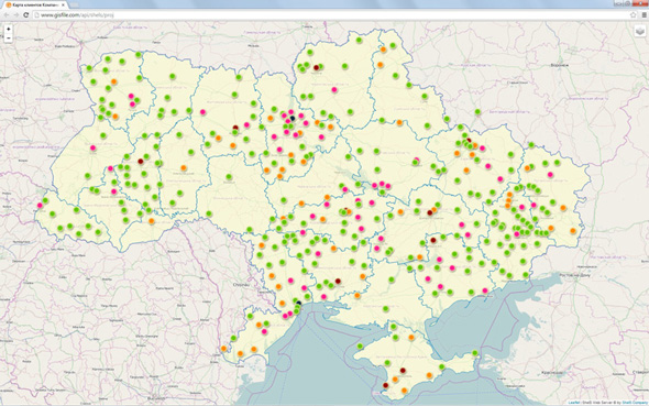
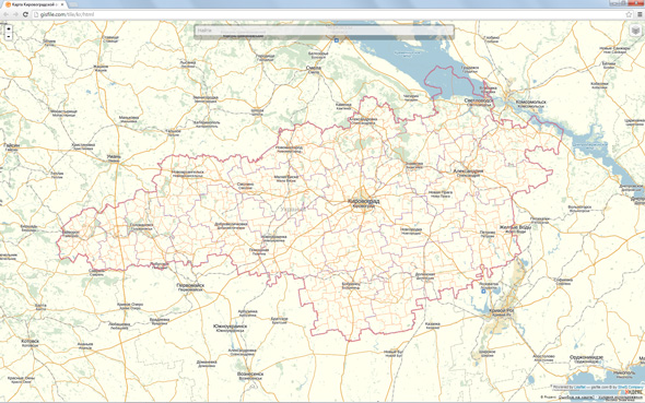
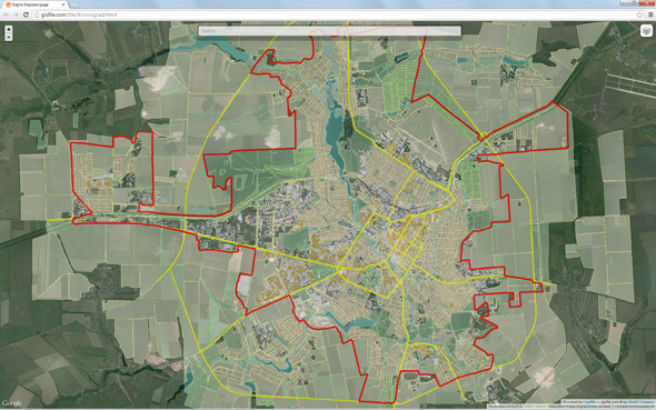
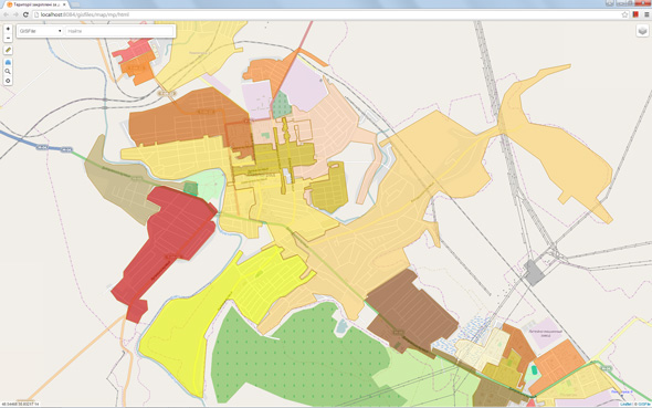
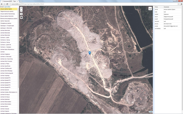
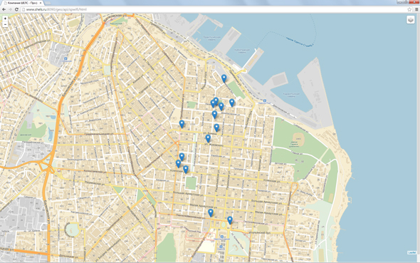
The examples of public projects demonstrate the capabilities of displaying the multiple layers with different parameters on the map. The set of parameters for displaying allows to specify the offset and scaling by default as well as display information about the objects, the fill color for all or for a specified field values.
Tile layers
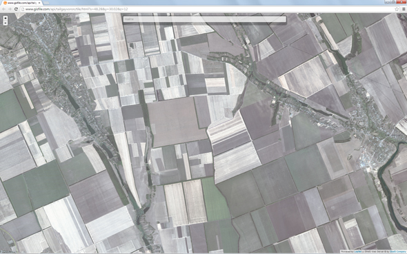
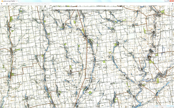
GISFile provides the ability to create layers, upload maps, building and displaying tiles. Furthermore, it provides automatic conversion and mapping the projects with the surface layers. Displaying the tiles for layers and projects is available in the Web interface, GIS 6, MapDraw 2 and external software.
Public layers
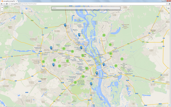
Displaying and editing the public layers on the map: OpenStreetMap, Yandex Map and Google Map. The list of objects displays in the edit mode. During the selecting of object is carried out the positioning on the map and in the list as well as is showed the editor of selected object settings.
