Open Source
GISFile is an open source project with parts of open source code for free using under BSD license.
create and publish maps for free
support the raster and vector layers
REST API and Java Script API
open source code
Showcase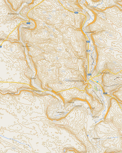
GISFile is an open source project with parts of open source code for free using under BSD license.
integrate maps in web pages and applications
improve the possibilities of website
make thematic maps
solve spatial tasks
Make Maps OnlineWe have been working in this industry since 2002. We developed a lot of software and services in the field of GIS.
create vector data for your online map
import and analyze different data
digitizing and updating of maps
make beautiful maps
JavaScript API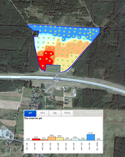
Nowadays a lot of companies and startups integrate maps in the Web solutions. We help our clients make it fast and easy.
develop the GIS Server for any industries
GPS Server on the base Node.js
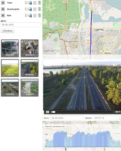
video streaming on the map
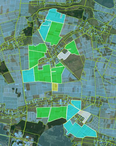
smart farming solution