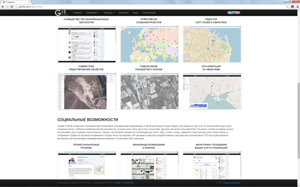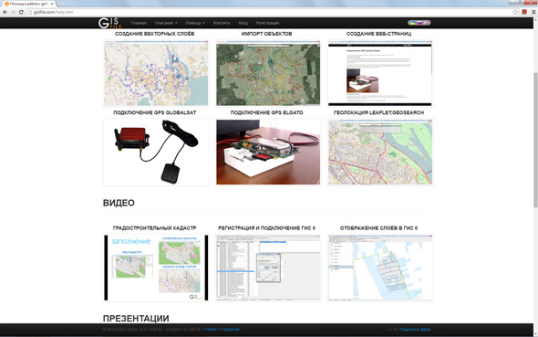
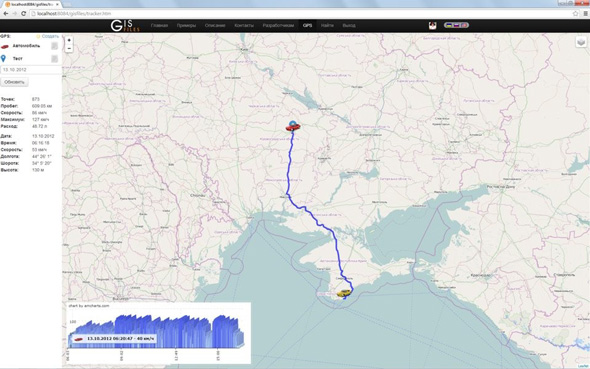
Make and publish maps, GPS navigation, API access
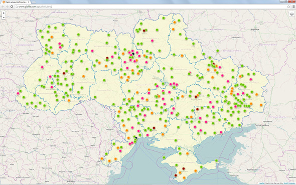
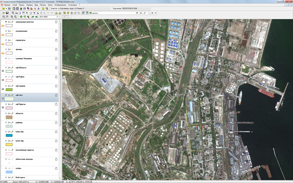
Filling and sharing of GEO-spatial information
Filling and sharing of GEO-spatial information
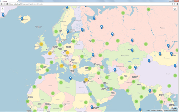
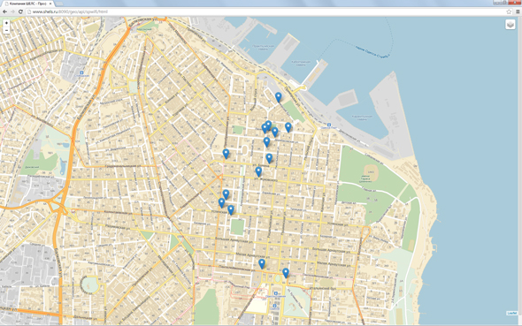
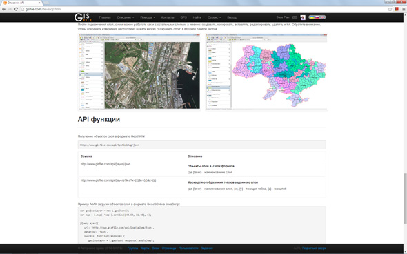
GISFile provides a set of API functions for displaying JSON objects, obtaining information about selected objects and finding objects. API URL allows using the tiles of raster layers and automatically generating tiles of vector layers for displaying them on the map in the web page or application. Rest API functions make usage of the service in the Web solutions possible, as well as displaying already prepared maps and layers on Web pages.